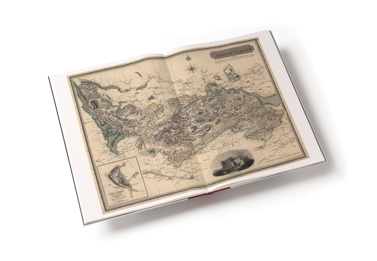
In 1832 John Thomson published the first large-scale atlas of Scotland organised by county. Not only did this provide an invaluable and accurate picture of Scotland prior to the Clearances but it also marked out this Atlas as a highly significant milestone in the history of mapping. Thomson’s Atlas of Scotlandwas the first since Blaeu’s famous publication to map the land from accurate surveys and collected information. He announced that: ‘the New County Atlas of Scotland will either be derived from Actual Surveys; or where such cannot be obtained, from other authentic materials, so corrected by the Attestators, and their Assistants, as to ensure greater accuracy than is to be found in any book of the kind published in this or any other Country.’
The Atlas contains 58 large format, double-page maps of mainland Scotland, the Western Isles, Orkney and Shetland. Two stunningly beautiful drawings illustrate the ‘Comparative heights of the principal mountains of Scotland’ and ‘Comparative lengths of the principal rivers of Scotland’. An Introduction explains in detail how each of the maps was prepared and a full index of places appears at the back of the book.
This high-quality limited edition is case-bound in real cloth with a protective slip-case, with each copy individually numbered, contains two introductory essays by Professor Charles W. Withers of the University of Edinburgh and by Chris Fleet and Paula Williams of the National Library of Scotland.
John Thomson was an atlas publisher in Edinburgh and this ambitious task was a labour of love and commitment so huge it even contributed to his bankruptcy. Yet he persevered and, with the support of friends, the atlas – begun in 1820 – was finally launched in 1832.
RRP £150
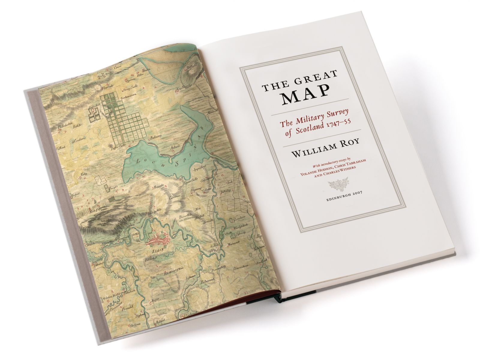
The Great Map by William Roy
William Roy surveyed the whole of Scotland, producing an immensely detailed and groundbreaking map of the country after the Jacobite rising of 1745. It had a great influence on the future of mapping, and for the first time this magnificent work has been reproduced in 342 large-format full colour pages.
RRP £200
Bartholomew Survey Atlas of Scotland, 1912
When the Bartholomew Survey Atlas of Scotland, 1912 atlas was originally published, it received rapturous reviews. Dr Walter Scott Dalgleish wrote in the Scottish Geographical Magazine; It is a boon to Scotsmen to have placed within their reach such a splendid delineation of their country in its varied physical aspects – a delineation so comprehensive in conception, so elaborate in its details, and so accurate in every respect. It is not less a credit to Scotland that both in conception and in execution the Atlas is the work of Scotsmen. Scottish enterprise projected it, and Scottish ingenuity, skill and taste have carried it through all its stages from first to last. The Scotsman compared the Survey Atlas to the Blaeu Atlas (the first in our limited edition series) concluding that ‘Blaeu is to Bartholomew what the grub is to the butterfly’. The magnificent Survey Atlas of Scotland is important for many reasons:
• It was the first folio atlas of Scotland to be conceived, designed, printed and published, not only entirely within Scotland, but also under one roof – the Edinburgh Geographical Institute of John Bartholomew & Co. Ltd.
• It was the first folio atlas of Scotland to be conceived, designed, printed and published, not only entirely within Scotland, but also under one roof – the Edinburgh Geographical Institute of John Bartholomew & Co. Ltd.
• It was the first folio atlas of Scotland to be printed by colour lithography, employing this relatively new printing technology to produce an array of uniquely distinctive coloured maps.
• It was the first major atlas of Scotland to be commercially successful.
• It was also a scientific milestone, as the first atlas of Scotland to bring together national and international experts in the physical and natural sciences, who wrote text and drafted thematic maps for it.
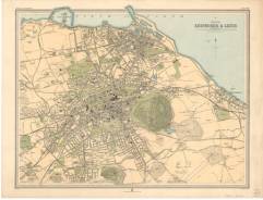
• It is the first modern atlas ever produced. In this limited edition we reproduce the 1912 edition. It contains introductory texts on Scotland’s history, geology, climate and population, a history of Scottish cartography, thematic maps of Scotland (including a ‘Motoring Road Map’), 45 large topographical maps covering the whole of Scotland, and town plans of the major cities. In addition we have included the thematic mapping (mammals, birds, reptiles, deer forests, and languages of Scotland) that appeared in the 1895 edition but not in the 1912 edition, so that all the maps produced for this great atlas can be seen in one place.
To accompany the Atlas, there are two introductory essays.
Chris Fleet, Senior Map Curator at the National Library of Scotland writes on ‘The making of the Survey Atlas’.
Karla Baker, the Bartholomew Archive Curator at the National Library of Scotland, provides a biography of the atlas’s creator, J. G. Bartholomew.
RRP £100
Comments
Post a Comment